
UAV Technology and Innovation tools for a Sustainable Management of the Portuguese Coastal Zone [NI-SERV-2020-52]
Risk and Civil Protection Assessment and Management using UAV technology
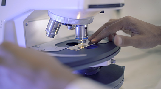
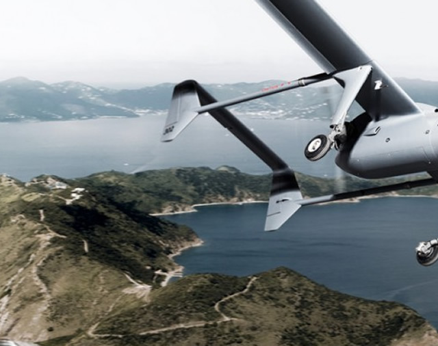
UAV technology (unmanned aerial vehicles or drones) is an important tool for monitoring and modelling coastal systems. Through the images collected by the UAV, it is possible to extract a series of information, such as 3D models, which are an important tool for preparing risk studies, monitoring and controlling the erosive processes of the coast, overtopping and flooding studies, land use changes and ecosystems, among others.
Service/Expertise Overview
The UAV technology presents itself as an extremely useful monitoring tool, being used to study the evolution of the position of the coastline along the months, and comparing the length of the beach between the summer and winter months. Similarly, the data collected by the drone, after treatment and processing, also allows to know the variation in the volume of sand on the beaches between surveys, thus helping to study the erosive impact of the most energetic waves of winter. These data can also be used in a more “macro” way, in comparisons over the years. In addition to these applications, the data collected by drones also makes it possible to calculate the significant wave height, for example – something fundamental for the study of coastal overtopping. In a more administrative perspective, this equipment also allows monitoring of the state of coastal structures, such as spurs and groins, to assess the need – or not – for their maintenance.
Competitive advantages
A team of researchers of the NOVACoastLAB from MARE – Marine and Environmental Sciences Centre focuses their work in the area of Risk and Civil Protection Assessment and Management. The research work developed using UAV technology is directed to the scientific areas of integrated coastal zone management, risk assessment and monitoring in coastal municipalities, sustainability, and resilience of coastal communities to climate change.
Applications
The UAV Technology and Innovation tools for a Sustainable Management of the Portuguese Coastal Zone are mainly used to:
- Develop innovative methodologies in the assessment of hazards, vulnerabilities and risks associated with extreme weather events and their integration in risk and emergency management plans for coastal cities and communities, in order to contribute to the improvement of public policies for vulnerable territories;
- Generate methodologies for forecasting erosion, overtopping and delimitation of flooded areas, as well as supporting the response to emergency situations involving overtopping and erosion events;
- Create methodologies and strategies for Adaptation to Climate Change and Plans and Strategies for Adaptation and Civil Protection;
- Promote Oceanic, Coastal and Risk Education and Literacy in order to increase the resilience of coastal communities.
Research centre
MARE – Marine and Environmental Sciences Centre/Department of Environmental Sciences and Engineering